
Waymarked with a blue ring, this loop heads east from the Étang de Hanau and winds between the sandstone rocks of the massif (Hanau Turm, Lieschbacherturm), then runs along the Étang de Lieschbach, another biological reserve, before reaching the ruins of Falkenstein Castle, in the neighbouring municipality of Philippsbourg.
The route is hilly, with several climbs and descents.
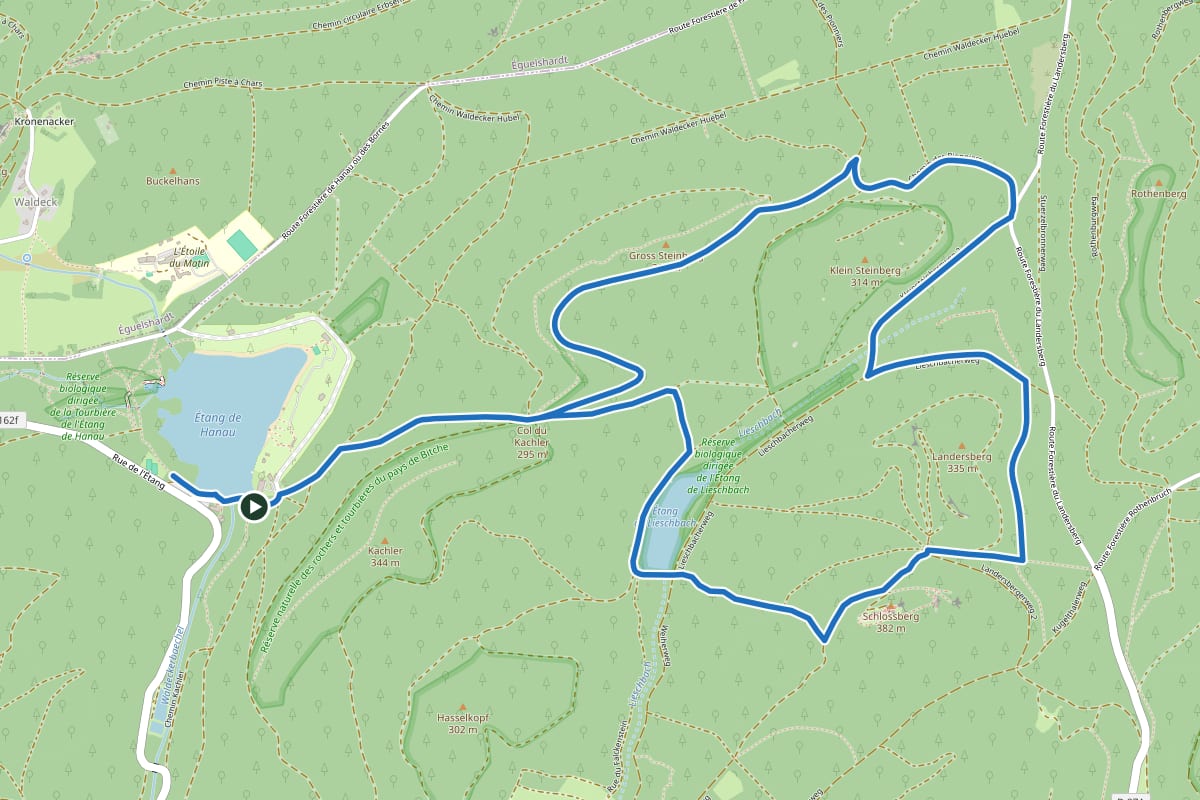
Trail waymarked and maintained by the Club Vosgien. Route: © OpenStreetMap contributors (ODbL licence). Elevation: EU-DEM (Copernicus). Distances and times are indicative: always follow the waymarks on the ground.